

Who Shapes the Territory? Or, Why Urban Planning Does Not Exist
Every time I speak in public and state that “urban planning does not exist,” I am met, depending on the audience, with a roomful of knowing half-smiles. Over a quarter-century of public service and administrative leadership—serving as a city councillor, provincial president, and regional legislator in Sardinia—I have learned to read the subtle nuances of that expression. In parliamentary chambers or municipal halls, the smile arrives in a flash, dismissing the statement as a debating ploy, a provocative opening gambit designed to stir political momentum before routine business resumes. In academic symposia and professional conferences, it unfolds more slowly: technical specialists and urban design experts pause, bracing themselves to defend their discipline against what appears to be an attack, only to realize as I speak that my critique is not aimed at their professional competence. But among mayors, regional governors, and municipal executives—those who actually sign the binding deeds, allocate public capital, and face the immediate fallout of spatial decisions—the smile melts into a quiet nod of recognition. Those who govern territory grasp the statement instantly because they confront its reality every single day in offices, council chambers, and public hearings.
To declare that urban planning does not exist is neither an empty provocation or a nihilistic rejection of spatial regulation. The physical artifacts of planning obviously exist: master plans are drafted, printed, formally adopted, published in official platforms, and stamped with protocol numbers. Spatial disciplines boast university departments, specialized faculties, cartographic systems, statutory standards, and vast administrative cadres. Cities have certainly been planned in the past, and sometimes with extraordinary aesthetic or infrastructural skill. What does not exist, however, are two fundamental assumptions upon which the entire modern planning myth is constructed: urban planning as an autonomous, objective science, and the master plan as a primary determining force in the physical development of human settlements.
Planning is not an autonomous science. There is no neutral, technical body of knowledge capable of descending from above to neatly organize human life within space. Every fundamental decision embedded in a plan—where to build, at what density, for which socioeconomic groups, and at what public cost—is dictated entirely by underlying economic dynamics, demographic shifts, class relations, and political power balances. Technical discipline arrives only after the fact. Its function is to translate decisions conceived and matured elsewhere into the formal, bureaucratic language of land-use designations, zoning codes, and regulatory ratios. The draftsman’s pencil follows the balance of real-world power; it never precedes it. Planning operates as a retrospective container. It wraps choices made by capital, political alliances, and institutional forces in bureaucratic legitimacy, returning them in a legal format that satisfies the imperatives that dictated them in the first place.

Furthermore, planning does not exist as an effective, self-executing power. Master plans consistently lag behind reality. They ratify what has already occurred on the ground or vainly chase developments that are already unfolding. A statutory plan can forbid, restrict, designate, and zone; yet it cannot impart a forward direction to a society unless it is buoyed by an underlying political and social consensus. Where that consensus exists, the plan appears to work, though it is merely reflecting the alignment of forces beneath it. Where that consensus is absent, the plan remains protocol paper—meticulously drafted, legally published, beautifully colored, but fundamentally impotent. Paper in territorial governance possesses a singular property: the more totalizing its technical pretensions, the less real authority it commands. An administrative prohibition lacking political consensus does not halt physical transformation; it merely generates demands for variances, endless litigation, speculative waiting, and institutional paralysis.
What actually exists is political negotiation: the continuous, case-by-case bargaining over space, value, and rights. Real territorial governance takes place around specific tables, with named individuals, addressing concrete financial, social, and ecological interests. There is urban policy—which is to say, institutional negotiation—but there is no autonomous urban planning. To negotiate does not mean capitulating to private interest; it means acknowledging that competing interests legitimately exist and that ignoring them costs vastly more than reconciling them. Effective governance begins with interests and subsequently constructs the rule capable of holding them together.
This disconnect between the totalizing pretensions of technical design and the messy reality of political economy spans the entire history of modern urban thought. The ancient world appears at first glance to offer a counterexample: the rigid grid of Hippodamus at Miletus, Plato’s strict demographic cap of 5,040 citizens in the Laws, or Vitruvius’ foundational geometry. Yet those ancient master plans succeeded only because they operated under a condition that modern society no longer enjoys: structural immobility. When population, technology, and social relations remain relatively motionless, a spatial drawing can coincide with reality once and for all. The moment commerce, industrialization, and migration set society in motion, the total plan becomes a perpetual, futile chase.
The Renaissance and Enlightenment utopian traditions attempted to preserve this immobility through literary and geometric fictions. Leon Battista Alberti compared the city to a large house, assuming a single patriarchal authority that eliminates political friction. Filarete drew Sforzinda as a perfect, eight-pointed star, and Thomas More in Utopia proposed redistributing housing by lottery every 10 years to prevent social differentiation. Each of these theoretical schemes shared an underlying requirement: an empty land registry and a frozen population. On paper, the designer encounters no resistant landowners, no inherited deeds, no competing claims. Paper is the ultimate compliant soil precisely because no one holds rights upon it. But the moment real people inhabit space, static geometric harmony collapses before the dynamic reality of property, interest, and human nature.
The modern history of planning is a sequence of increasingly sophisticated attempts to impose technical order on a moving society, each collapsing at the exact point where it confronts the political economy of land. Ebenezer Howard, who published To-Morrow: A Peaceful Path to Real Reform in 1898, is routinely remembered as an idyllic visionary of green belts and picturesque suburban clusters. But Howard was fundamentally a reformer addressing the structural crisis of land rent. The core of his proposal lay not in the geometric diagrams of concentric rings, but in his economic chapters regarding the revenue of the garden city. Howard recognized that the massive appreciation of land values created by urban growth was generated by the community itself. While mainstream economics termed this unearned surplus the “unearned increment,” Howard explicitly corrected the phrase, insisting it be called the “collectively-earned increment.”
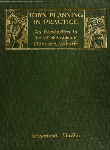
The Garden City was conceived as a radical legal and economic mechanism to capture that collectively-earned value and return it to the public domain. What survived in the actual implementation of the movement, however, was the aesthetic shell: low density, suburban greenery, orderly road layouts. The revolutionary core—the public recapture of land value—was systematically discarded. When Raymond Unwin codified Howard’s vision into British planning manuals like Town Planning in Practice (1909) and Nothing Gained by Overcrowding! (1912), the social compact on land rent evaporated into technical regulations regarding building distances, density limits, and open-space ratios. Society absorbed the physical standards that did not disturb entrenched property relations, while eliminating the economic redistribution that did. The drawing remained; the economic reform was lost.
The high-modernist era of the 20th century escalated these technical pretensions to their absolute peak, attempting to substitute spatial engineering for political conflict altogether. Le Corbusier famously declared in 1923 that “a house is a machine for living in,” closing Vers une architecture with this ultimatum: “Architecture or Revolution. Revolution can be avoided.” His doctrine sought to eradicate the inherited city—the organic city born of historical accretion, trade, and negotiated property boundaries—and pronounced the ultimate condemnation: “We must kill the corridor-street.” In the Athens Charter of 1933, the international modernist vanguard reduced urban existence to four rigid functional zones: dwelling, work, recreation, and transportation.
This total plan operated on the arrogant fallacy that human life could be neatly categorized into spatial compartments by executive decree. Modernists promised governments social peace in exchange for complete technical control over the drawing board. Yet living cities stubbornly resisted total design. Functional zoning produced sterile monofunctional deserts that required continuous administrative exceptions and retrofitting to function. Total planning achieved its purest physical monuments only where backed by immense concentrations of autocratic state power or unbridled capital; wherever it encountered a pluralistic society, the total plan collapsed into a series of pragmatic, piecemeal bargains.
Nowhere was the clash between autocratic technical planning and living urban politics more vividly demonstrated than in midcentury New York City. Robert Moses commanded an unprecedented bureaucratic and technical apparatus, wielding public authorities, highway funds, and master plans to carve massive arterial infrastructures directly through the urban fabric. Opposing him was Jane Jacobs, observing the city from the pavement of Greenwich Village. In her 1958 essay “Downtown Is for People” and her seminal 1961 work The Death and Life of Great American Cities, Jacobs articulated a fundamental truth: Cities possess no intrinsic logic that can be imposed from above by planners; they are created by the complex, spontaneous interactions of people living on sidewalks and streets.
When Moses moved to construct the Lower Manhattan Expressway—an elevated multilane highway that would have obliterated SoHo, Little Italy, and Greenwich Village—Jacobs did not defeat him by presenting a superior technical counterplan. She defeated him by organizing an unyielding political coalition block by block, neighborhood by neighborhood, transforming latent civic resistance into decisive political leverage. Moses possessed the statutory master plan, the technical bureaucracy, and the engineering authority. Jacobs built the political platform that stripped him of consensus. The outcome—expressway or no expressway—was decided not by the intrinsic wisdom of the master plan, but by who brought greater political force to the negotiating table. The plan possessed no autonomous power to enforce itself against organized political reality.
By the late 20th century, even the professional establishment was forced to admit the collapse of the planning myth. Rem Koolhaas captured this dissolution in his essays “Whatever Happened to Urbanism?” (1994), “The Generic City” (1995), and “Junkspace” (2002).
Koolhaas documented a global urban landscape shaped entirely by financial flows, rapid private capital accumulation, and real estate speculation—a landscape where traditional master plans become obsolete long before they complete their formal bureaucratic adoption processes. The Generic City and Junkspace are what remain after modernization has run its course without a political steering mechanism: an urban realm produced by post-hoc private choices, where the official master plan does nothing more than retroactively archive a spatial geography determined elsewhere by market forces.
This theoretical trajectory is fully validated by empirical legislative history, as demonstrated by the evolution of coastal protection laws in my home region. Sardinia possesses one of the most ecologically sensitive coastlines in the Mediterranean, subjected for decades to intense real estate pressure. In 1985, the Italian state enacted the Galasso Act, placing an automatic statutory landscape restriction over a 300-meter buffer strip from the shoreline. Yet market pressures and local administrative accommodations steadily eroded this boundary. By 2004, faced with impending coastal overdevelopment, the regional government enacted an emergency executive measure establishing an absolute, non-buildable moratorium extending 2,000 meters from the sea, pending the creation of a comprehensive landscape plan.
This 2,000-meter restriction—subsequently embedded in the 2006 Regional Landscape Plan (PPR)—successfully halted coastal sprawl for several years. But it did so not because the 2,000-meter line possessed an inherent, scientific magic, but because it was backed by an exceptionally focused, determined political coalition willing to expend its institutional power to enforce the moratorium. The moment that political momentum waned and subsequent regional administrations took power, the statutory rule was relentlessly chipped away through legislative exceptions, temporary “house plans” (piani casa), building amnesties, and regulatory waivers. The technical rule written on paper proved entirely helpless the moment the underlying political consensus dissolved. Statutory restrictions do not govern space; political coalitions govern space.
If urban planning as a self-contained, technical science does not exist, we must stop pretending that better cartography, more complex computer modeling, or denser regulatory codes will solve the spatial crises of contemporary society. We must abandon the illusion of the neutral, omniscient master plan and recognize spatial management for what it genuinely is: an ongoing, institutionalized political negotiation over value, rights, and public goods.
Governing territory effectively requires transferring our collective energy away from the drafting of rigid, totalizing plans and toward the design of transparent, binding negotiating institutions. This shift demands three concrete structural changes in how public authority approaches space.
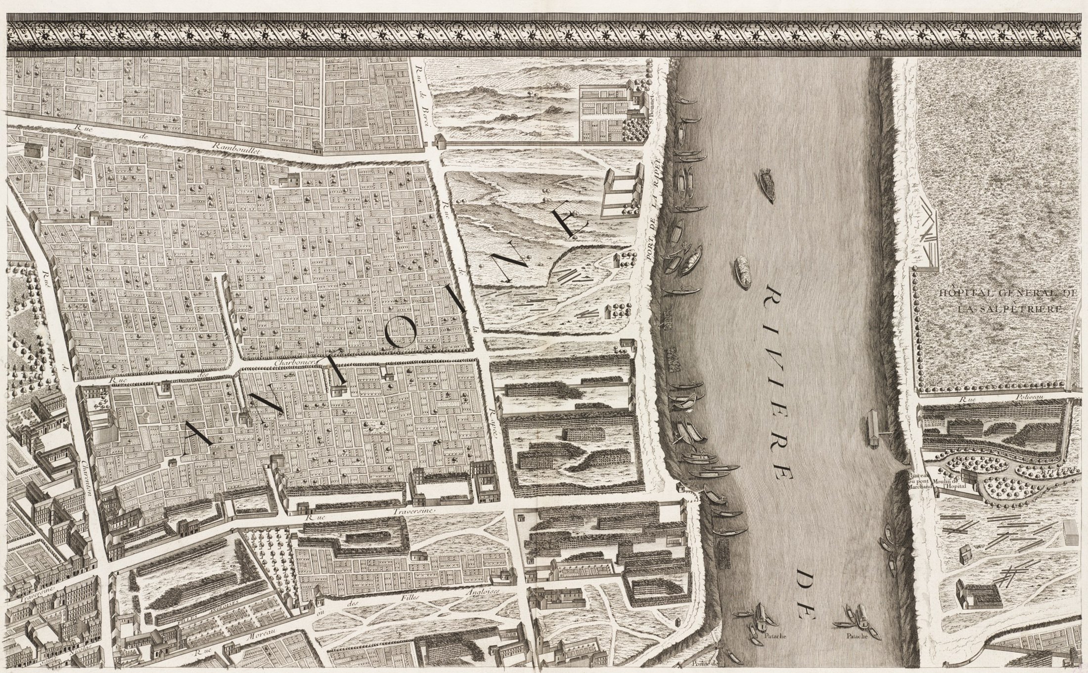
First, we must establish a small number of absolute, non-negotiable ecological bedrock rules. The fatal flaw of modern planning is that it attempts to regulate everything weakly, resulting in thousands of negotiable restrictions that are eventually circumvented through variances and corruption. Instead, public authority must establish hard, unalterable boundaries based on natural realities: absolute prohibitions on building in floodplains and unstable terrain, strict preservation of water resources, and the complete protection of the public coastal domain. These are not traditional urban planning rules; they are ecological and civil safety limits. Because they are simple, clear, and non-negotiable, they define the structural boundaries of the field, freeing everything else for explicit public negotiation.
Second, we must replace 20-year general master plans with discrete, fully financed strategic projects. A comprehensive master plan pretending to predict the exact functional layout of a city two decades into the future is an exercise in bureaucratic fiction. Public authorities should focus instead on targeted interventions that possess three mandatory attributes: fixed deadlines, explicit capital allocations, and individually named public managers responsible for execution. Rather than trying to design entire metropolitan regions from scratch, public intervention should focus on repairing, sewing together, and retrofitting existing urban fabrics—an approach exemplified by Renzo Piano’s urban mending (rammendo) or Jan Gehl’s human-scale public space interventions.
Third, we must formalize and institutionalize the negotiating table itself. Negotiation over urban space occurs continuously, but under current planning regimes, it takes place behind closed doors through opaque variances, ad-hoc exceptions, and backroom political accommodations. We must bring this bargaining into the public square by creating structured, transparent negotiating forums.
Applying the principles of principled negotiation developed at the Harvard Negotiation Project—focusing on underlying interests rather than entrenched ideological positions, separating the people from the problem, inventing options for mutual gain, and insisting on objective criteria—public authorities can negotiate directly with private landowners, developers, and civic organizations. When a private developer seeks building rights, public authority should not hide behind arbitrary zoning bans that are secretly waiting to be waived. It should engage in an open, contractual bargaining process: exchanging specific development rights for explicit, measurable public benefits—such as social housing, public parks, schools, or land value capture modeled on Howard’s original insight. Every offer, counteroffer, and tradeoff must be recorded in open public proceedings.
Urban planning does not exist. What exists is the territory, its ecology, its human inhabitants, and the competing interests that claim its value. The choice before us is not between technical planning and chaotic market deregulation. The real choice is between an opaque, hypocritical negotiation hidden behind the fiction of neutral master plans, and an honest, institutionalized political negotiation conducted in the open light of democratic accountability. When we finally lay to rest the myth of the master plan, we can begin the real work of territorial governance: building binding, transparent agreements that align private interests with the enduring public good.
Featured image: Nuoro, in inland Sardinia—the ground the argument comes from. All photos courtesy of the author, with the exception of the Urwin book.